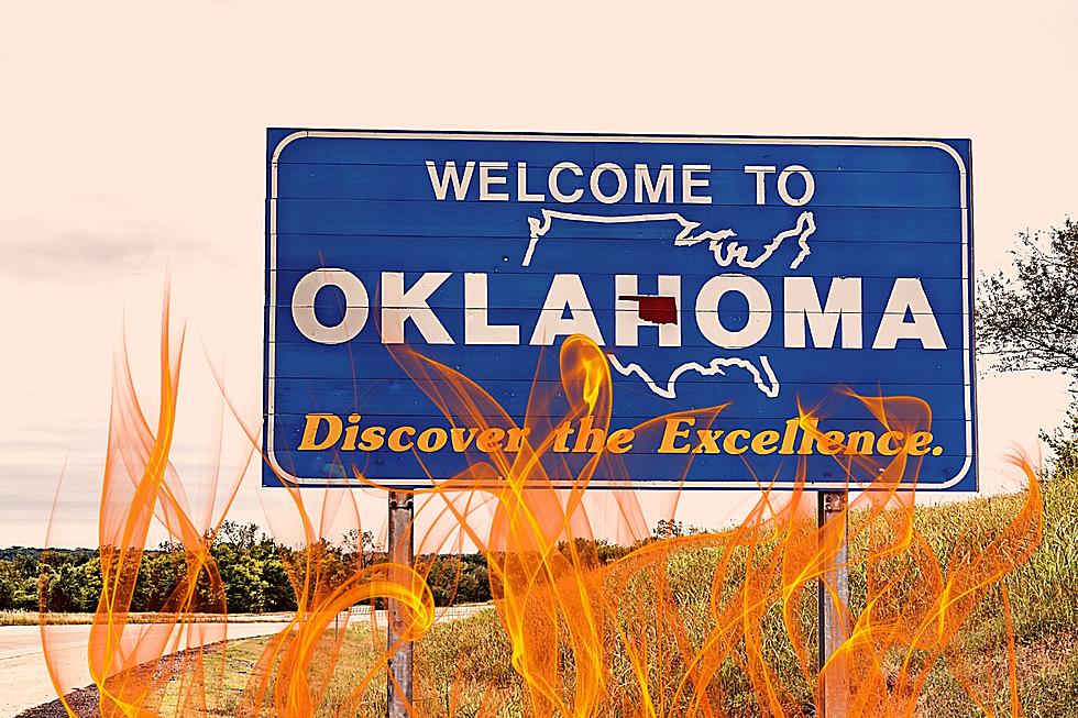
Stormy Start to June for Kansas and Oklahoma
This year has already been a busy one with severe thunderstorms in Tornado Alley, and after a bit of a quiet period things may be getting busy again. Early June is looking stormy for much of Kansas and Oklahoma once again as spring draws to an end.
I'm always looking ahead at what the NOAA Storm Prediction Center has in their Convective Outlook. Another stormy day appears to be possible in Kansas and Oklahoma, as the SPC has issued a 15% Day 5 risk for severe storms on June 3.

There is still some uncertainty with how the jet stream and mid-level temperatures will line up, but there will be plenty of moisture and shear to allow storm development, especially later in the day. CAPE values will also be quite high, so there's plenty of energy to fuel some big storms. Severe storms are quite possible, and this will be an area to watch as Tuesday, June 3 draws closer.
Why should storms during this time frame be watched closely?
There is more to this storm threat than just severe storms. I also saw that there is a risk of heavy precipitation with this storm system. The Climate Prediction Center mentioned that there is a 20%-40% chance of heavy precipitation depending on the location of the low pressure system and associated frontal boundary. The precipitation forecast from the ECMWF model at Pivotal Weather shows quite a bit of rain through mid-week as well.

The Colorado State University Machine Learning severe storms forecast also outlines these same areas for severe thunderstorms on June 3.

As always, be weather aware as storms look to be moving through again soon enough, this time with heavy rain possibilities alongside the severe storm potential.
16 Unbelievable Sights to Behold in Oklahoma
Gallery Credit: Kelso
More From Ultimate Weather