26 Years Ago, New Jersey Slammed with 13 Inches of Rain, Flooding
What were you doing on August 20th, 1997?
For many people in South Jersey, the day started out pretty normally, however, it certainly did not end that way.
It was on this day 26 years ago that parts of South Jersey, specifically Atlantic County, received an absolutely incredible amount of rain.
How much?
In just over a 24-hour period, 13.52" of rain was measured at Atlantic City International Airport.
12.7" of rain was recorded in Mays Landing, 12.6" in Estell Manor, and 10.21" in Pleasantville, according to the National Weather Service.
To put that into context, our region might receive 4 or 5 inches of rain in an average month. We received three times that amount in about one day.
The result? Bridges were washed out, roads were underwater, and the region was declared a federal disaster area the following day.
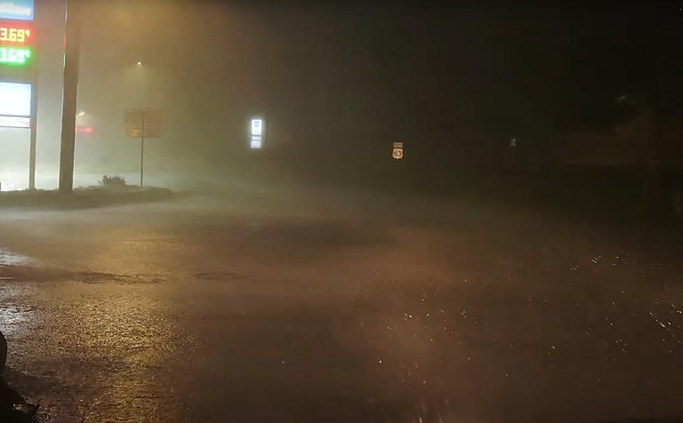
Video of Black Horse Pike underwater
Governor Christine Todd Whitman declared a state of emergency,
This heavy precipitation resulted in severe flooding in these counties, causing several thousand homes and businesses to be flooded, seven bridges to be washed out, other bridges to be damaged, and the closing and washing out of roads throughout these areas...
Sections of railroad tracks on the Atlantic City Rail Line were washed out, vehicles in used car lots floated away, 120 homes were evacuated, and residents were encouraged to boil drinking water when retention ponds overflowed.
What caused the flooding?
A series of thunderstorms developed along a front that repeatedly moved over the same area, known as "training."
Unlike a typical thunderstorm that quickly moves through an area in a few minutes, multiple thunderstorms moved across the same areas in South Jersey (picture train cars on railroad tracks -- "training" -- that go over and over the same spot). When that happens, amazing rainfall totals can be observed.
What was it like outside?
Back in the summer of 1997, I was working as a seasonal toll collector on the Atlantic City Expressway at what was then the "dollar tolls" in Hamilton Township out by exit 17.
I was working that night and vividly remember the river of water flowing through the toll plaza. It wasn't incredibly high as the roadway slopes to one side, but it was certainly enough to notice.
I also vividly remember people pulling up to the toll booth that I was in crying because of how bad things were. The Expressway doesn't flood but that night was absolutely horrible.
If you know the area out by exit 17, you know there isn't much out that way and the only shelter for drivers was the little employee parking lot at the toll plaza. I told quite a few people to pull into there that night to ride out the storm. It was simply too dangerous to venture off of the Expressway in the middle of the night.
26 years later
Thinking of the flooding in 1997 also made me remember the insane derecho that crushed our area 15 years later during the summer of 2012.
In that storm, power was out in parts of our area for over a week and thousands and thousands of trees were destroyed.
Winds at Atlantic City International Airport in Pomona were sustained at over 58 MPH for over ten minutes with a peak gust of 87 MPH; a 92 MPH wind gust was clocked on Long Beach Island.
Be prepared
So on a beautiful day like today, let this serve as a reminder that while we don't have tornadoes like Kansas or hurricanes like Florida here in South Jersey, Mother Nature occasionally does get an attitude problem around here and you always need to plan for whatever she throws our way.
Yellowstone National Park Rebuilds After Historic Flooding
More From Ultimate Weather

