Derecho Slams Iowa With Hurricane-Force Winds Again
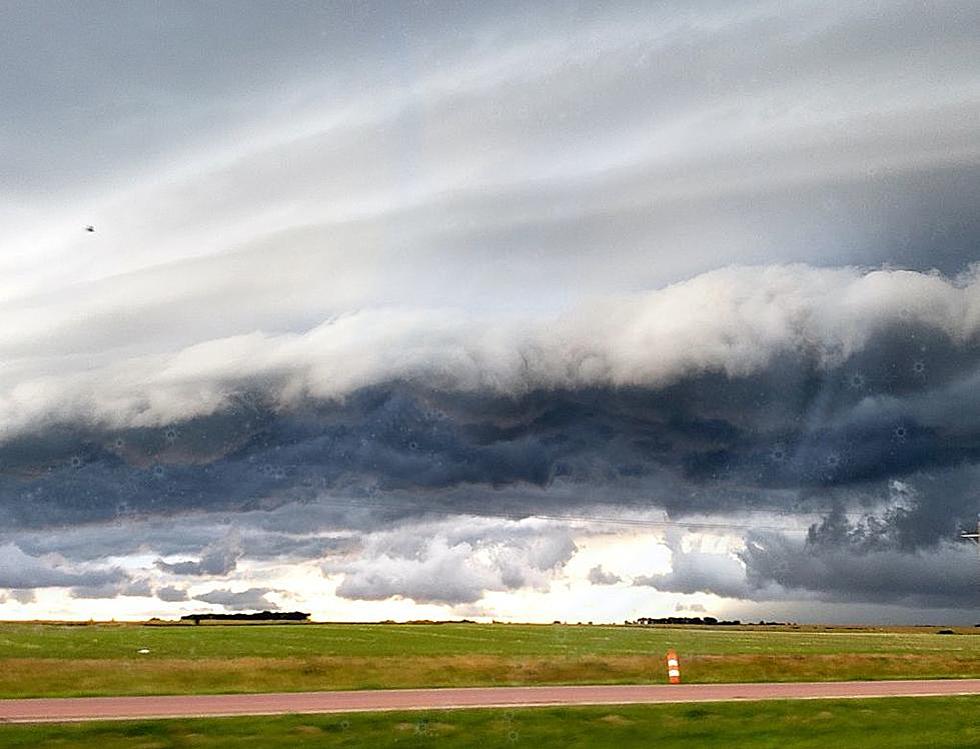
The severe storm season of 2025 has been quite active for many states, though Iowa has seen a slightly calmer year than last year. One big storm rolled through the state that did plenty of damage across the northern parts of the state including what many describe as a derecho with hurricane-force winds confirmed.
It was predicted that Iowa would see the possibility of a derecho late on July 28 into the morning of the 29th and that appears to have been the case. Although I haven't seen an official statement from the Storm Prediction Center yet, I'm seeing many references to a derecho including a couple of storm event summaries from National Weather Service offices that were in affected areas. The NWS shared a graphic showing all of the Iowa locations that submitted damaging wind reports.

Storms developed to the west with tornadoes reported over South Dakota for the second day in a row, and then they began to consolidate into a mesoscale convective system as they moved into Iowa. Wind reports began by late evening with the highest wind speed coming in from Sioux County at 99 mph. I found the following YouTube short that comes from Sioux County showing some of the intense winds.
Hurricane-force winds were recorded all across the northern part of Iowa into the early morning hours of July 29th. A personal weather station near Cedar Rapids recorded the last of the winds of that classification at 83 mph. More destructive winds continued all the way to the Illinois state line though with storms exiting Iowa a little bit before 4 am.
Iowa is unfortunately no stranger to derechos. While the event on July 28 wasn't nearly as destructive as the infamous storm of 2020, many communities will be cleaning up the aftermath for days to come.
August 2020 Derecho Causes Widespread Damage Across Iowa Farmland
More From Ultimate Weather